



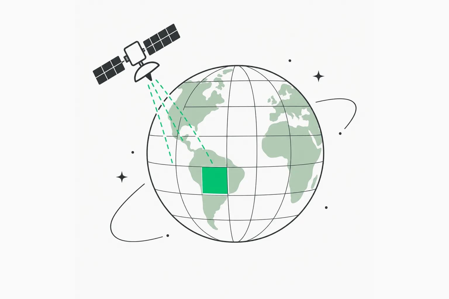
Planet launched the Planet AI app on November 5, 2026. It is a map-based chat interface at ai.planet.com that lets anyone search about ten years of the company's near-daily satellite imagery using everyday language. Access is free for now.
Instead of learning GIS software, a user can type something like a description of what they want to find, and the app returns matching places, side-by-side comparisons and timelapses. This post covers what Planet says it does, how the pieces fit together, what early users did with it, how to try it, and what is still unknown.
TL;DR: what you need to know
| Question | Answer | Source |
|---|---|---|
| What is it? | Map-based chat app to search and explore Planet satellite imagery | Planet announcement |
| Where? | ai.planet.com, on desktop or phone | Planet |
| Cost? | Free right now; premium capabilities may come later via a Planet Insights account | Planet; no pricing published |
| How much data? | Over ten years of proprietary imagery | Planet |
| How does search work? | LLMs interpret the request, then query a searchable vector map built from AI interpretation of visual features in monthly mosaics | Planet |
| Can it show change? | Yes: side-by-side comparisons and timelapses | Planet |
| Analysis mode? | Agents using Deep Research, file uploads, trend tracking, scheduled reports | Planet |
| Accuracy numbers? | None published that we found | n/a |
What Planet announced
Planet's post, written by Karla King, opens with a simple argument: AI chat apps know a great deal about human knowledge, but "are fundamentally blind to the physical world." A farmer asking about crop yield gets agronomy theory but nothing about their own field today. A first responder facing a flood or a journalist investigating a landslide has the same gap.
The Planet AI app tries to close it. Planet says it lets users "search ten years of Planet imagery to find sites of interest, explore how they've changed over time, and contextualize what they find with publicly available information, all in a simple, map-based chat interface."
Search the planet in plain language
The core feature is search by description. You no longer need to know where to look. Planet says you describe what you want and AI searches large areas for matching places.
The mechanism, per Planet: large language models interpret the request, then query a searchable vector map of the globe. That map is based on AI interpretation of visual features in Planet's monthly mosaics. In plain terms, the imagery has been converted into numeric descriptions of what each patch looks like, and your text is matched against them.
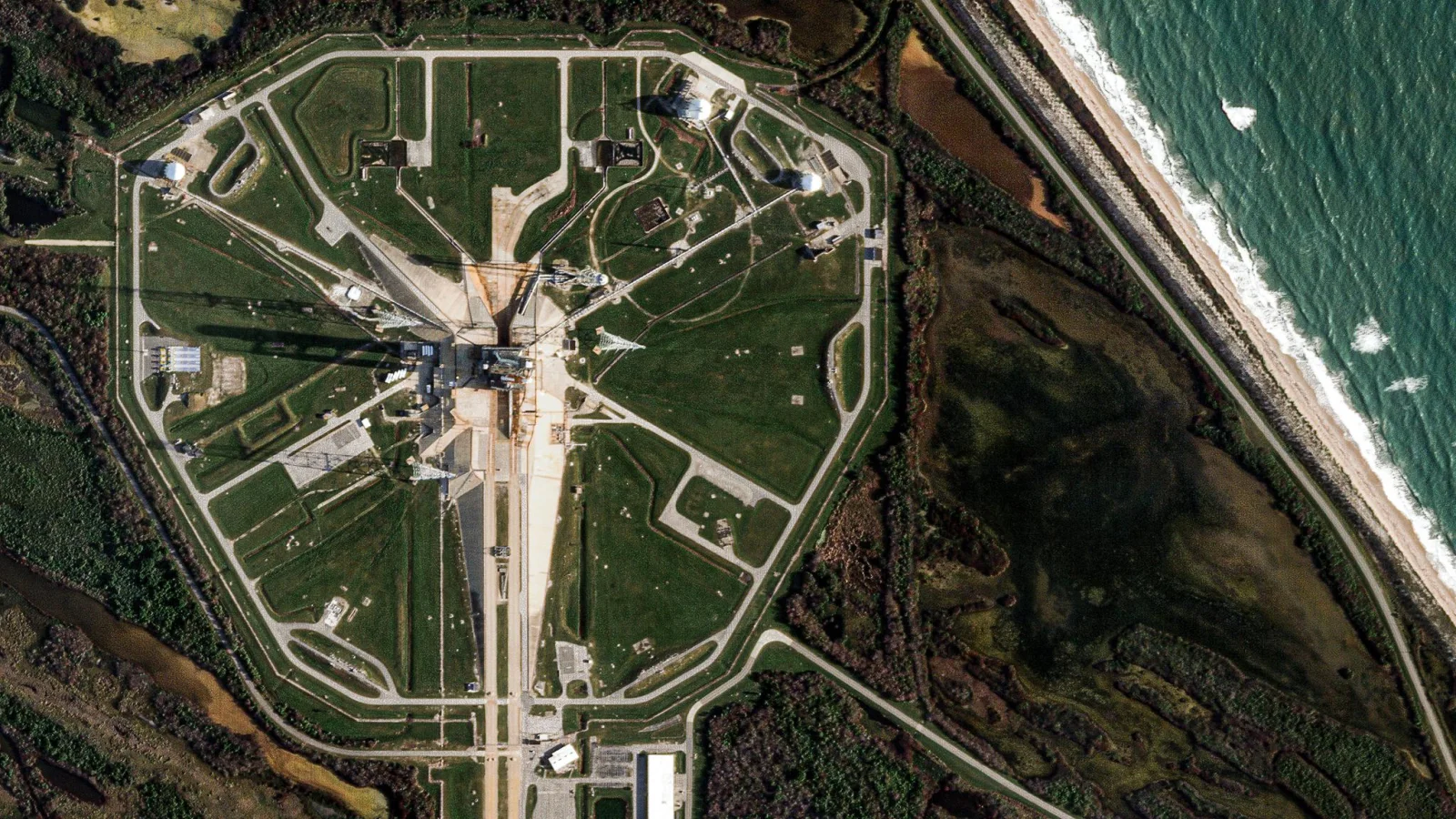 A Planet satellite image of a coastal facility seen from above, the kind of imagery the Planet AI app searches
Image: Planet
This is the same family of idea we saw in open releases such as Ai2's OlmoEarth satellite embeddings, which turn imagery into searchable vectors. The difference here is a hosted chat product on a proprietary archive.
Investigate change over time
Because the app can reach more than ten years of Planet data, it can search back in time to identify what changed and when. Planet says it can share a side-by-side comparison or a timelapse, and that "every result is grounded in Planet imagery that you can inspect yourself to verify what AI finds."
That last point matters. A language model can sound sure while being wrong. Showing the underlying pixels lets a person confirm or reject a claim, which is the safer way to use any AI summary of an image archive.
Analyze: agents and scheduled reports
For deeper work, Planet says the app can "automatically deploy agents to do complex analysis using Deep Research." Users can upload external files such as images or CSVs to enrich the analysis, track trends regularly and set up scheduled reporting.
If you have used the research modes in general chat tools, the pattern will be familiar. We looked at a similar pattern in Gemini's Deep Research and command-line tools. What is different is that the evidence is satellite imagery rather than web pages.
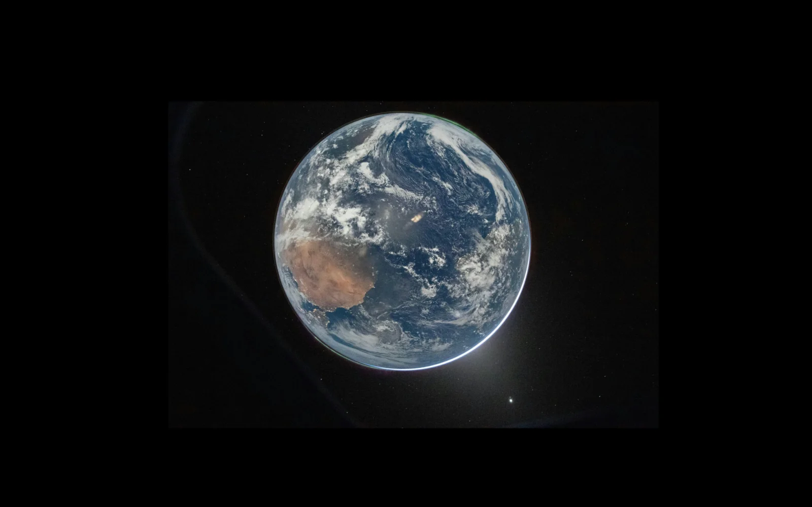 Planet's image of Earth from space, representing the global archive behind the Planet AI app
Image: Planet
What beta users did
Planet says hundreds of users tried an early version this summer. Many liked it most in the discovery phase, when deciding where to start. One user said they would never scroll across an entire desert by hand, so certain searches simply would not happen without a tool like this. Another said AI could point their team in the right direction and save time.
Planet highlights two early areas:
- Conservation and land stewardship. Teams tested it to monitor large habitats, spot illegal encroachment or fire threats, and verify automated deforestation alerts with imagery before sending field patrols. Analysts compared time series to track vegetation recovery and isolate comparable baseline habitats.
- Environmental compliance. Teams used AI-enabled search to locate and prioritize industrial sites across whole counties by proximity to waterways. Planet says workflows that took days of manual GIS scanning can now surface high-priority inspection targets in minutes.
These are Planet's descriptions of early use, not independent measurements. No accuracy, precision or time-saved benchmark was published.
How to try it
- Go to ai.planet.com and sign up.
- Start with a discovery question, such as where something visible from above is likely to be, rather than a precise measurement.
- Open the imagery behind each result and judge it yourself.
- Use the comparison view for change questions, and save or share a snapshot or timelapse.
- For repeat tasks, try the Analyze mode and a scheduled report.
- Use the "share feedback" button in the main menu if something is wrong. Planet asks for ideas.
Sign in with a Planet Insights account if you may want premium features later. Planet does not say what those will cost.
How it compares with other approaches
| Approach | Strength | Trade-off |
|---|---|---|
| Planet AI app | Chat search over a proprietary, near-daily archive; no GIS training | Hosted product; pricing beyond the free period unknown |
| Open embedding releases (for example OlmoEarth) | Open data you can build on | You build the interface and pipeline |
| Google's geospatial agent work | Reasoning agent across Earth data | Different data and access model; see Google Earth AI |
| Traditional GIS software | Precise, scriptable, auditable | Needs training and time |
For a deeper look at an AI map product that used satellite data for a policy goal, see DeepMind's forest typology map. If you work in open-source GIS and wonder how communities treat AI help, read why QGIS banned AI-assisted contributions.
A simple workflow for checking AI-found sites
Treat the app as a lead generator. A sensible routine for a journalist, analyst or conservation team looks like this.
- Write the question as a visible feature. Ask for what a satellite can see, such as bare ground, new roads, standing water or large rooftops, instead of an abstract concept like illegal activity.
- Scan the top results fast. Discard obvious misses and keep a short list of candidates.
- Open the imagery for each candidate. Planet says results are grounded in imagery you can inspect, so judge the pixels, not the model's wording.
- Compare dates. Use the side-by-side or timelapse view to confirm that the change is real and falls in the period you care about, and rule out seasonal effects such as snow or crop cycles.
- Corroborate elsewhere. Check public records, field reports or a second imagery source before drawing a conclusion or publishing.
- Keep a record. Save snapshots with dates so a colleague can reproduce the finding.
Following these steps keeps the speed benefit that beta users described, while avoiding the trap of trusting a confident answer without looking.
Limits and open questions
- No accuracy figures. Planet describes beta feedback but publishes no error rates for search or change detection.
- Search is on monthly mosaics. Planet says the vector map is built from interpretation of its monthly mosaics, so very short-lived events may need the underlying daily imagery.
- Pricing is open. Free access is stated as "right now."
- Language-model risk. Search that interprets a description can miss, or over-match, so verify visually.
- Dual use. Searching any place on Earth by description helps conservation teams and inspectors, and anyone else. Planet's post does not discuss misuse controls.
This is not Planet's first AI product this year. In September it announced Amazon.ia, a tool that combines satellite data science and AI for the Amazon, according to Business Wire. The new app is the general-purpose version, open to anyone. Planet's Pulse blog carries its Planetary Intelligence essays, which lay out the wider idea.
Planet frames the app as one step toward what it calls Planetary Intelligence: pairing daily satellite imagery with AI to deliver insights about a changing planet in near-real time. It says today's AI search is "just the beginning" and that it plans to bring AI to more of its offerings.
What this means for builders
If you build geospatial products, the signal is that a major imagery provider has decided the default interface is a chat box. Expect customers to ask for the same from your tools. If you are a researcher, journalist or analyst, the practical gain is in the first hour of an investigation, where finding the right place is the slow part.
Related reading
- OlmoEarth v1.3: open satellite embeddings for the planet
- Google Earth AI geospatial reasoning agent
- DeepMind forest typology map at 10 meters
- QGIS bans AI-assisted contributions
- Gemini API CLI and Deep Research
- Google's Project Suncatcher: TPUs in orbit
Details are accurate as of November 5, 2026, based on Planet's launch post. Pricing and features may change.