



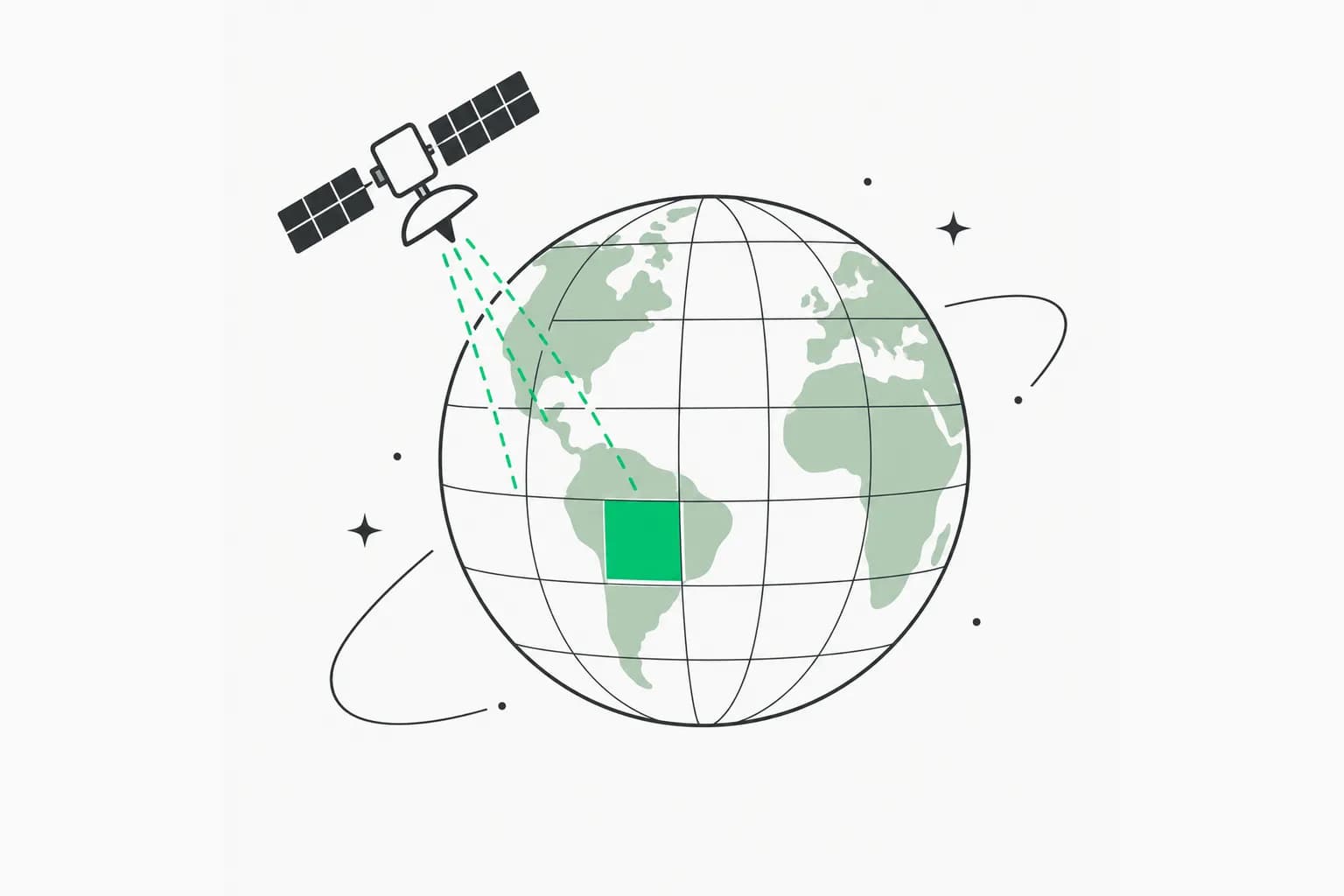
Google DeepMind has released Forest Typology (ForTy) 2020, a global map that tells old-growth forest, regrowth, planted forest, plantations and tree crops apart at 10-meter resolution. It was built with Google Research, the World Resources Institute (WRI) and the International Institute for Applied Systems Analysis (IIASA). The team reports that it picks the right forest type 90% of the time across more than 9,000 validation sites, and a new early time series tracks yearly change from 2017 to 2025. Everything is free on Google Earth Engine. The source is DeepMind's own post, Beyond tree cover: mapping the world's forest types, published October 22, 2026.
This is AI for nature rather than a chatbot launch, but it is a good example of a foundation-model embedding being turned into a regulatory tool. Below: what the map classifies, how it was built, how the accuracy claim was checked, and what it cannot tell you yet.
TL;DR
| Item | Detail (from DeepMind) |
|---|---|
| What | Global forest typology map, 2020 baseline, 10 m resolution |
| Classes | Primary, naturally regenerating, planted, plantation, tree crops and agroforestry, other land |
| Partners | Google DeepMind, Google Research, WRI, IIASA |
| Time series | Early release, yearly 2017 to 2025 |
| Training data | About 1.7 million labeled locations |
| Key model input | AlphaEarth Foundations embeddings |
| Validation | 9,000+ random sites, two expert reviewers each |
| Reported accuracy | 90% forest type, 95% forest vs non-forest |
| Access | Earth Engine, open license, downloadable |
Why "tree cover" is not enough
An old-growth rainforest, a eucalyptus plantation and an oil palm estate can look like the same green patch from orbit. They hold very different amounts of carbon and biodiversity. A primary forest that has never been cleared holds far more of both than a single-species timber plantation harvested every decade or two. Most global maps only say whether trees are present, which hides exactly the changes conservation groups care about: when a natural forest is logged and replanted as a plantation, the land soon looks green again and a tree-cover map may not register the loss.
The policy hook is the European Union's regulation on deforestation-free products, EUDR. As DeepMind describes it, products such as coffee, cocoa and palm oil must not come from land that was forest in 2020 and was later converted to agriculture. Wood products must also be free of forest degradation, meaning they cannot come from primary forests converted into plantation or planted forests, or from naturally regenerating forests converted into plantations. Companies and regulators therefore need to know what kind of forest they are looking at, not just that trees exist.
What the six classes mean
ForTy follows definitions from the UN Food and Agriculture Organization:
- Primary forest: native forest with no visible signs of human disturbance.
- Naturally regenerating forest: forest that grew back on its own, for example after logging or fire.
- Planted forest: forest people planted or seeded and managed over long cycles.
- Plantation forest: fast-growing, intensively managed tree farms, often one species.
- Tree crops and agroforestry: farms growing oil palm, rubber, cocoa, fruit and similar.
- Other land: grassland, cropland, cities, water and everything else.
DeepMind's global map shows the most common type in each square kilometer, but the underlying data is at 10 meters, and users can browse it in an Earth Engine app.
How the model was built
The hard part, DeepMind says, is that the classes depend partly on how land is used, not only how it looks. To teach the model the difference the team built a collection of about 1.7 million labeled locations from expert surveys, national and regional datasets, and targeted reviews of places where the model struggled. The model uses a custom architecture designed for remote-sensing data and takes AlphaEarth Foundations embeddings as a key input. Those are compact summaries of years of satellite observations for each 10-meter pixel, which let it pick up clues such as planting patterns, growth cycles and harvest rhythms. For background on that embedding model, see DeepMind's earlier AlphaEarth Foundations announcement.
The image above is DeepMind's illustration of the problem: five of the classes can look alike from above, and the classifier has to use structure and seasonal patterns to separate them.
Is the 90% number trustworthy?
DeepMind, IIASA and WRI validated ForTy against more than 9,000 randomly chosen sites. At each one, two trained experts studied high-resolution imagery and years of satellite records to decide which type of land was truly there. Results: 90% correct forest type, 95% correct forest versus non-forest, and better than other global forest maps, per the authors.
A few things to keep in mind when reading that:
- It is the authors' validation. The partners who built the map also ran the check. The accompanying Scientific Data paper is the place to inspect the protocol, and independent evaluations will matter.
- Overall accuracy hides per-class accuracy. Telling plantation from planted forest, or primary from regrowth, is harder than telling forest from cropland. A single 90% figure does not say how the hardest pairs perform. We did not see a per-class table in the blog post.
- Probabilities are provided. Instead of one yes-or-no label, ForTy gives a probability score per class. DeepMind suggests an EUDR compliance team might set a strict threshold and accept only pixels the model is very sure about, while a researcher estimating total forest extent might use the full distribution. That is a useful design for regulation, where false positives and false negatives have different costs.
The time series: seeing what replaced the forest
The early time series applies a similar approach to every year from 2017 to 2025. DeepMind says it shows where forests disappear and where they grow back, and what kind of change occurred: a natural forest turned into a timber plantation, or abandoned land regenerating into forest. This is the part with the most practical value, because it addresses the case that tree-cover maps miss. DeepMind calls it an early release and says it will keep improving it with partners and users over the coming months, so expect revisions.
Where it fits among Google's Earth AI work
ForTy joins what DeepMind calls its AI for Nature portfolio (drivers of forest loss, deforestation risk forecasting, species distribution models, field biodiversity monitoring) and Google Earth AI, the company's collection of geospatial models and datasets. It follows last year's Natural Forests of the World 2020 map, which separated natural forest from all other tree cover but answered only a yes-or-no question. If you follow this line of work, see our coverage of the Google Earth AI geospatial reasoning agent, Google Earth AI farmscape and hedgerow mapping, and the planetary prediction engine.
How to use it
- Open the Forest Typology 2020 map in the Earth Engine explorer app linked from DeepMind's post.
- For analysis, load the dataset in Earth Engine or download it. The 2020 map and the time series are under an open license.
- Decide a probability threshold for your purpose. Compliance screening and area statistics need different thresholds.
- Cross-check hotspots with high-resolution imagery or local data before acting. A map is evidence, not a legal finding.
- Remember the time series is an early release; label it as such in any report.
What it does not tell you
- It is not a legal determination. EUDR compliance depends on supply-chain data, geolocation and the regulation's definitions; a model class is an input, not a verdict.
- Pixel-level errors exist. Even at 90% accuracy, one in ten forest-type calls is wrong on average, and errors are not uniformly spread.
- Definitions travel badly. FAO categories are applied globally, but what counts as a plantation or planted forest varies by country.
- Baseline year is 2020. That matches EUDR's cutoff, but later conversions are only covered by the early time series.
Who might use it first
DeepMind names governments, companies, conservation groups and scientists as the intended users, with goals such as deforestation-free supply chains and directing forest finance to where natural forests most need protection. In practice, the earliest users are likely to be sustainability teams at commodity buyers who must screen sourcing regions before EUDR obligations bite, researchers measuring how much natural forest turned into plantation between 2017 and 2025, and journalists or NGOs checking corporate claims. Each of them will care about different error trade-offs, which is why the per-class probabilities may matter more than the headline accuracy.
Why this is more than a map
The pattern is notable for AI readers: a general-purpose embedding model (AlphaEarth) is reused as an input to a specialist classifier, trained on expert labels, and delivered as open data that regulators can use. It shows where foundation models can have impact outside chat: turning petabytes of imagery into one decision-relevant layer. The open question is governance, who audits the model's errors when a shipment is accepted or rejected based on a pixel label.
Related reading
- Google Earth AI geospatial reasoning agent
- Google Earth AI farmscapes and hedgerow mapping
- Planetary prediction engine from Google Earth AI
- AI, climate change and energy
- Top 10 AI climate tech startups
- Official: DeepMind's ForTy post
Details are accurate as of October 22, 2026 and come from Google DeepMind's announcement. Accuracy figures are the authors' own.